Think Google Maps, but with even more details
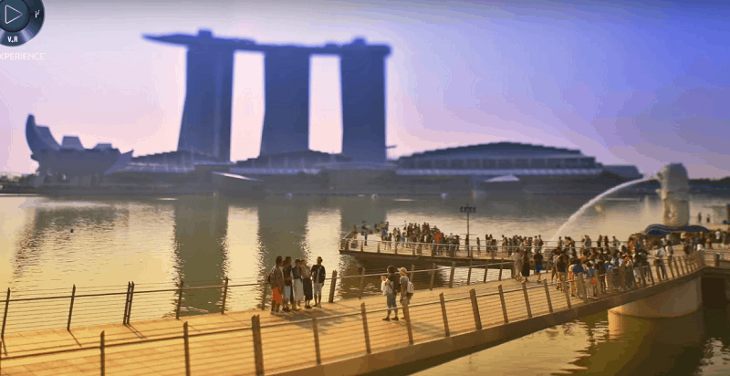
This could be the mapping of the future. ‘Virtual Singapore’ is like the amplified, enriched version of a Singapore in ‘Sim City’ — but it’s far more technologically advanced. This 3D-mapping is data-enriched, and tells us all the information we need for urban planning. French software company Dassault Systèmes announced a collaboration with National Research Foundation in Singapore on June 12, 2015, and the program is scheduled to finally be up and running by the end of this year. According to Wired, Virtual Singapore’s technology is the latest and most sophisticated attempt to create an all-seeing “urban dashboard”.
Think Google Maps, but with even more details. It is even more three-dimensional and easily navigated, containing not just traffic data but energy consumption metrics, county’s census numbers, and loads of other information.
You can click on any site in Singapore to retrieve data; Zoom in on an apartment building to bring up its size, energy use, building materials, engineering specs, unit prices, number of residents, and number of parking spaces; Zoom out to explore local transport options and connections, traffic conditions, weather patterns, or public health data. Is there a dengue danger in this area right now? The map will pull up all that information. It will also highlight possible emergencies like gas leaks.
The software has multi-industry benefits. It would be of great use to city officials, urban planners, architects and the like to monitor trends and connections about the city. Designers can explore how to plan future building projects and see how it will impact shadows. Authorities can simulate disaster evacuations. All these planned virtually.
“It really opens up a window onto how all these systems impact each other,” Ingeborg Rocker, Dassault’s Vice President of 3DExperiencity says. “A small change can have a substantial impact.”
The next time Singapore wants to build, for instance, a stadium, she says, we can test how it might impact traffic, pollution, population density, et cetera.
Ng Siau Yong, Director of the Geospatial Division of Singapore’s Land Authority, says, “It aims to synergise all the 3D efforts from various agencies of the government onto a common platform, so that all public agencies can make use of a 3D digital city model of Singapore.”
The National Science Experiment was also conducted to capture urban environmental data and allow students to gain insights from data collected. The data is then streamed into Virtual Singapore and represented in the virtual world.
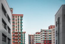
Date about temperature, pressure, humidity, lights, noise levels, infrared temperature, and even motion and counting steps can be collected using IoT devices. Erik Wilhem, Assistant Professor at Singapore University of Technology and Design, says, “It’s useful as an analyst to look at the data in 3D because we end up having broad questions, which we can drill down and see the details using such a platform.”Why Singapore? With more than five million people living in the country, our densely-populated city-state makes us one of the most data-rich candidate. Our urban island contains more than 4,300 high-rise towers, and is one of the most sensor-laden and demographically monitored places on Earth. This makes it most ideal for replication in the virtual world.
Bernard Charlès, President and CEO of Dassault Systèmes, called this the “city of the future”. Wired reports that Singapore has already started testing beta versions of the initiative. Soon, businesses, especially financial, architecture, engineering, transportation, and energy firms, will be roped in. People living in Singapore will have access to information like transit, health and weather data, but other more sensitive data and census about the city will be restricted access. Dassault Systèmes has called this a ‘game-changer’. Other cities have apparently also expressed interest about this project going on in Singapore.
Sylvain Laurent, Executive Vice President of Global Field Operations at Dassault Systèmes said that they have had partnerships with many companies, but unlike the others, in Singapore they partnered up with the government. “This one is really to share a vision with the city for the next 50 years,” he said.


